
Integrated Stage-Based Evacuation with Social Perception Analysis and
Dynamic Population Estimation
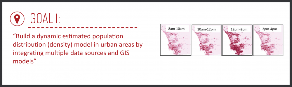
Goal 1: Build a dynamic estimated population distribution (density) model in urban areas by integrating multiple data sources and GIS models (dasymetric mapping methods).
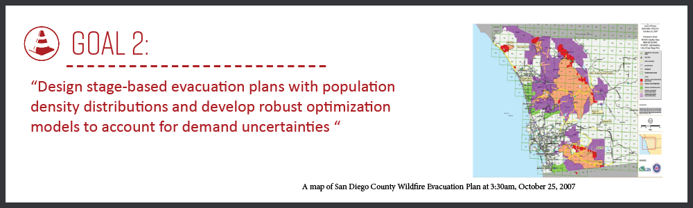
Goal 2: Design stage-based evacuation plans with population density distributions and develop robust optimization models to account for demand uncertainties.
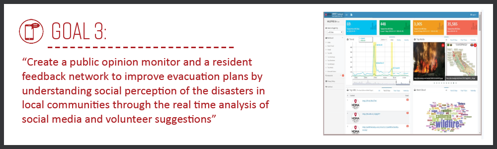
Goal 3: Create a public opinion monitor and a resident feedback network to improve evacuation plans by understanding social perception of the disasters in local communities through the real-time analysis of social media and volunteer suggestions.
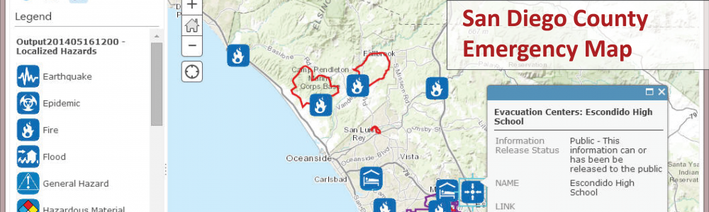
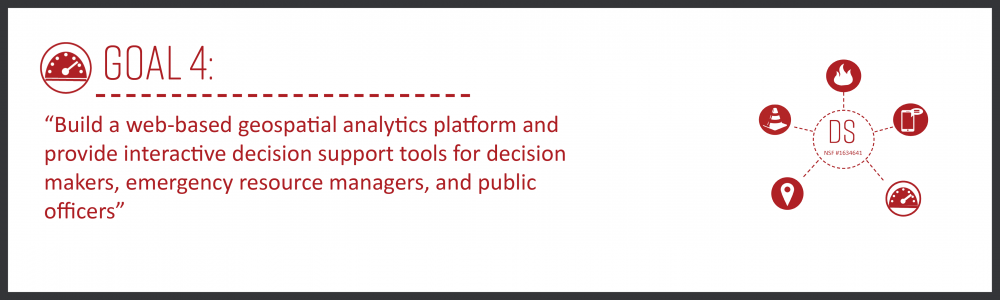
Goal 4: Build a web-based geospatial analytics platform and provide interactive decision support tools for decision makers, emergency resource managers, and public officers.
Introduction of SMART 2.0 Dashboard
SMART Dashboard is a Geo-Targeted search tool for Twitter messages to monitor the diffusion of information and social behavior changes which provides an automatic procedure to help researchers to:
1. Search geographically in cities
2. Filter noises (such as removing redundant retweets and using machine learning methods to improve precisions)
3. Analyze social media data from a spatiotemporal perspective
4. Visualize social media data in various aspects (such as weekly and monthly trends, top URLs, top retweets, top mentions, or top hashtags)
Contact Information
Principal Investigator: Dr. Ming-Hsiang Tsou
Tel: (619) 594-0205
E-mail: mtsou@mail.sdsu.edu
GIScience and Web GIS (Tsou), GIScience (Nara),
Transportation (Yang), Transportation (Ghanipoor Machiani)